
Disclaimer – We have received this item for free or on a loan basis for the purpose of this review/feature but all words and opinions are our own.
Any Londoner is familiar with The Thames on a daily basis, but probably only a small portion of the 2,000 year old river as they travel over or under it. The Thames Path Sketch Journal starts with The Thames at Richmond, London and follows it to the Thames Barrier, giving illustrations, maps and sketches along the way. The ‘Liquid History’ is also brought to life with walks along The Thames and gives extensive history.


The book is broken up into chapters covering specific areas working from west to east. Starting with an illustrated map of the segments of The Thames, watercolours of buildings and structures are annotated with history and background per page, giving details on construction and original uses as well as they have changed over the centuries. The walks are detailed on each of the illustrated maps, and although the hardback book is heavy and probably not practical to carry with you on the walk, it is easy to take a photo of the map and use it to walk along the route.
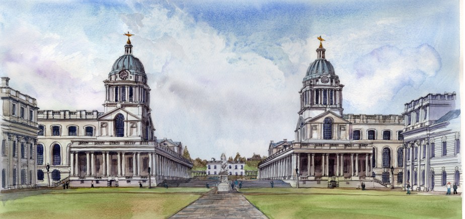
The book goes on to illustrate a range of artwork including line sketches, plans of historic houses and some areas such as Kew Gardens have extra artwork exemplifying the buildings and the beauty of the area. There are some historical photos included too, giving the background of the Oxford & Cambridge Boat Race. As the book goes on to the City area of The Thames, there are more and more illustrations, bringing The Thames to life.
This is a brilliant coffee table book and gift for anyone interested in London, or with a personal history of The Thames. It’s absolutely beautiful with the sketches on every page and complete detailed history of each area as well as walks which can be enjoyed throughout the year.
Have a look at author Charles Leon’s website with extra artwork available: https://www.charlesleon.uk/thames-path-sketch-journal
